


Geoglyphs of the Ustyurt plateau
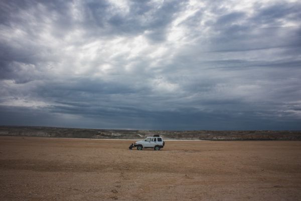
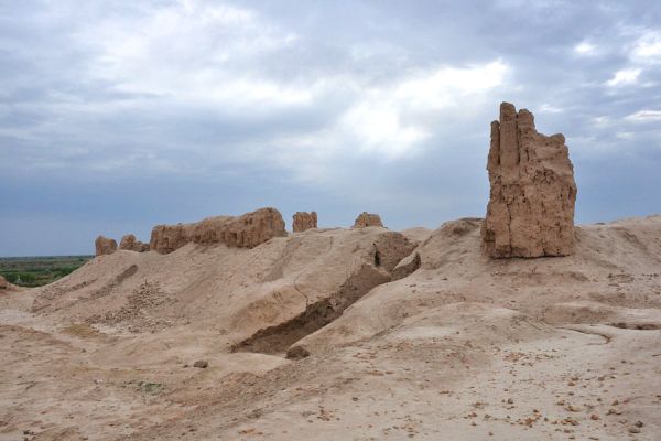
Once there was the ancient Tethys Ocean, and now a dried-up bottom with separate ridges and ledges, up to 350 meters high. Ustyurt is still poorly studied for several reasons: due to its inaccessibility and remoteness from main roads, harsh climatic conditions (frosty winters and sultry summers), and lack of fresh water.
For example, mysterious geoglyphs in the form of arrows were discovered in the 80s of the last century during a helicopter survey of a topographic map of the plateau.
There are two hypotheses for the appearance of such geoglyphs on the plateau:
1. The arrows look like moats with shafts and a swept tip at the end. Perhaps the ancient irrigation structures served to collect drinking water, because at the end of the boom there is still a depression resembling a reservoir.
2. Lev Leonidovich Galkin, an archaeologist, believes that the arrows were intended for cattle herding.
A whole complex of archaeological sites, traces of ritual burials and burial mounds, some of them dating back to the 10th century, has been discovered in the Strel district. The main landscape of Ustyurt is a desert, without fresh water and vegetation.

Place on the map
Tours where you can visit this place:
Geoglyphs of the Ustyurt plateau
Samarkand — Bukhara — Khiva — Khorezm — Nukus
- 635$
- 6d.

Geoglyphs of the Ustyurt plateau
Tashkent — Nukus — Khorezm — Urgench — Khiva — Bukhara — Samarkand — Ferghana — Kokand — Rishtan — Chimgan
- 1340$
- 11d.
Geoglyphs of the Ustyurt plateau
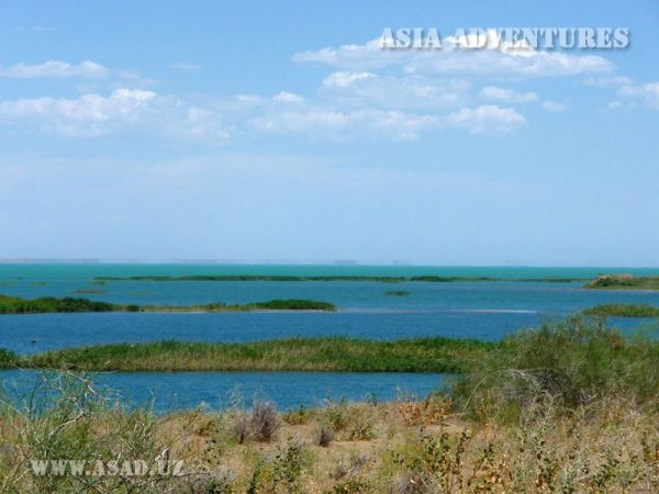
Tashkent — Nukus — Muynak — The Aral Sea — Khiva — Bukhara — Samarkand
- 750$
- 8d.
